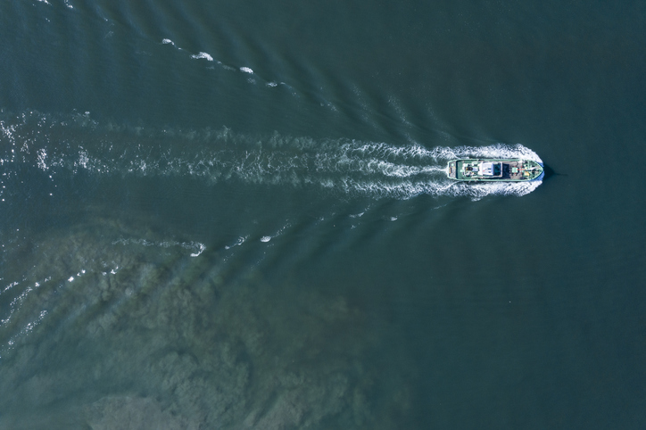
Understanding what’s happening in the maritime domain, known as maritime domain awareness or MDA, is an essential element for any country that wishes to govern its maritime zones. But in the Indo-Pacific, many countries struggle to afford the costly top-down, military-style surveillance systems used by wealthy countries. However, new technologies provide the opportunity to democratise access to information and help Indo-Pacific countries to have sovereign capabilities to better monitor their maritime domains.
In recent decades, many countries around the world have claimed jurisdiction over huge areas of the ocean and exclusive rights over the resources in the water and seabed. Many Indo-Pacific island states now have maritime jurisdictions many times larger than their land areas—Maldives, for example, claims that it is 99% ocean. Some have begun calling themselves ‘blue continents’.
But while drawing lines on ocean maps may look impressive, in reality these are often largely ungoverned spaces. The first, and arguably most essential, step in exercising maritime governance is understanding what’s occurring in the maritime domain. Many countries have little idea about what’s happening far from shore, making their maritime claims more in the realm of theory. The truth is that unwatched space is ungoverned space.
But achieving a reasonable level of awareness over huge expanses of ocean can be an expensive proposition. For rich countries like Australia, MDA has traditionally involved collating visual information from ships or aircraft, data from large military satellites and data from automatic signalling devices carried by commercial vessels (known as AIS). The cost and complexity of these top-down surveillance systems has left many poorer countries struggling.
But a multi-faceted technological revolution is bringing MDA within reach of even the smallest of countries, potentially giving them the tools to understand and govern their own maritime domains at an achievable price. These technologies include satellite-based data, low-cost commercial drones, artificial intelligence, and even crowd-sourcing of surveillance.
First, the proliferation of low-cost commercial and other non-military satellites, many of them in low-earth orbit, has brought much of the oceans under regular observation. These satellite systems use a range of technologies to sense vessels below, such as optical observation, radiofrequency detection of vessels using radio or radars (for example, the Hawkee360 system) and VIIRS, a scanning radar that detects reflected light.
Several web-based platforms are now becoming available at no or low cost to Indo-Pacific countries that overlay AIS with satellite data. This allows users to identify so-called dark vessels that have switched off or spoofed their AIS devices to reduce the chances of detection while they engage in illicit activities such as illegal fishing or drug smuggling. One such platform is SeaVision, offered by the US as part of the Quad Indo-Pacific MDA Initiative. Other equivalent platforms are available, including the EU’s IORIS system and the UK’s SOLARTA system. Importantly, users can have access to multiple platforms from multiple sources, reducing the ability of providers to withhold information.
Multiple data sources are now being supplemented by AI systems (such as the Skylight system, provided for free by a US-based non-government organisation) that analyse the behaviour of vessels to predict their activities and intent (for example, if a vessel’s track is indicative of a fishing vessel or whether it may be engaging in a ‘dark rendezvous’ with another ship). These systems cue suspect vessels for further investigation by authorities.
Smaller countries often also struggle to afford air and sea platforms that are key to visual surveillance. All Quad partners are now providing selected regional partners with patrol boats, maritime patrol aircraft, drones and patrol boats (including Australia’s successful Pacific patrol boat program). However, these military-grade assets can still be expensive to maintain and operate, requiring continuing external assistance.
But the proliferation of low-cost commercial drones increasingly enables maritime surveillance at a fraction of the cost of crewed patrol aircraft or military-grade drones. Many of them are controlled through terrestrial radio links, making them suitable only for inshore applications or for surveillance within relatively short distances from patrol vessels. However, as satellite-linked commercial drones become available, they will be suitable for surveillance of distant waters in exclusive economic zones and beyond.
Another approach is to effectively crowd-source MDA by having ocean users be the eyes and ears of maritime law enforcement. Some solutions can be simple. When the Maldives government provided subsidised satellite phones to its fishermen to enhance maritime safety, it also empowered them to give real-time reports of foreign trawlers in their waters, making it a key fisheries enforcement tool.
A new and interesting crowd-sourcing solution is the SeaWatch app, being trialled in the Philippines. It is a maritime equivalent of the popular crowd-sourcing Citizen app used to report traffic accidents or crimes onshore.
The SeaWatch app allows fishermen to use mobile phones to take pictures of (and provide other relevant information on) any vessels they suspect of engaging in illegal fishing or other illicit activities. These geolocated reports are then available to all app users. Reports made from beyond mobile range are automatically uploaded when coverage is reached, which means there may be some latency. (Satellite systems such as OneWeb are also being rolled out that will allow fishermen to communicate via mobile phone with authorities from distant waters.) It also depends on fisherman having access to smartphones, which a reasonable proportion already do, even in poorer countries.
SeaWatch reports may be used by maritime enforcement authorities to ‘tip and cue’ investigation of suspicious vessels or vessels that have been identified as suspect by other means such as AIS and satellite data.
Put together, these technologies are potentially revolutionary for Australia’s smaller neighbours that struggle to buy, operate and maintain high-end military-style maritime surveillance systems. They offer multiple new sources of data and analysis for free or at low cost. Their use can empower many Indo-Pacific countries to achieve a high degree of sovereign MDA over their maritime jurisdictions.